Attēls:Peloponnese map shaded relief-blank.svg

Size of this PNG preview of this SVG file: 766 × 600 pikseļi. Citi izmēri: 307 × 240 pikseļi | 613 × 480 pikseļi | 981 × 768 pikseļi | 1 280 × 1 002 pikseļi | 2 560 × 2 004 pikseļi | 2 611 × 2 044 pikseļi.
Sākotnējais fails (SVG fails, definētais izmērs 2 611 × 2 044 pikseļi, faila izmērs: 2,84 MB)
| Šis fails ir no Vikikrātuves. Tā apraksts no attēla lapas Vikikrātuvē ir parādīts zemāk. Vikikrātuve ir brīvi licencēta failu krātuve. Tu vari tai palīdzēt. |
Kopsavilkums
| Apraksts |
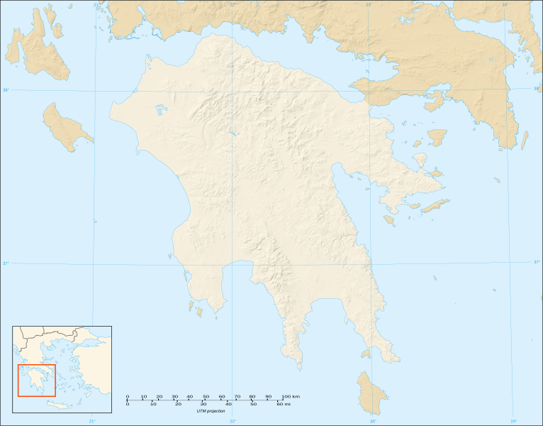
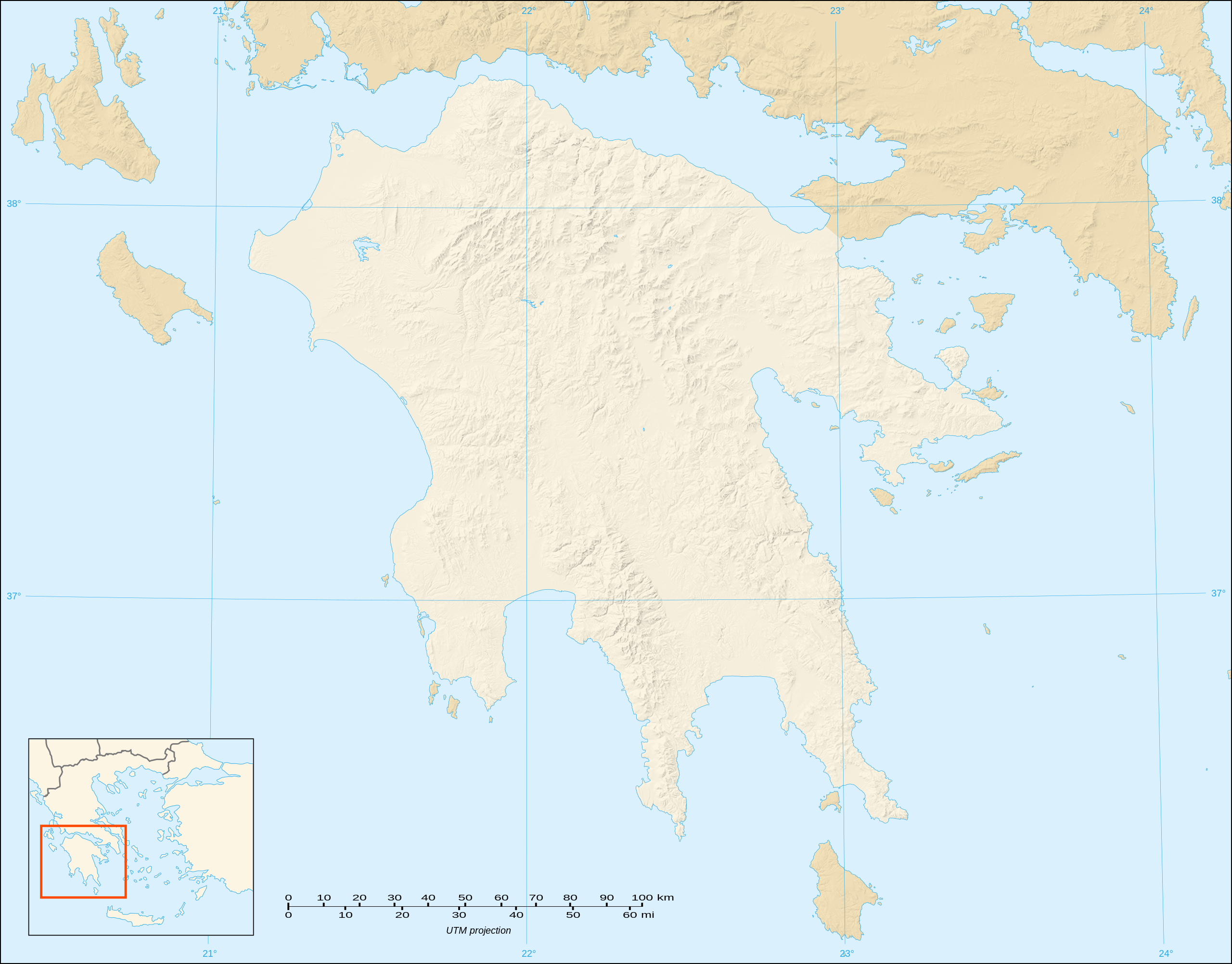
English: Blank map with shaded relief of the Peloponnese peninsula, Greece
Note : The limit of the Peloponnesian peninsula shown follows the Corinth Canal. Français : Carte vierge avec relief ombré de la péninsule du Péloponnèse, Grèce ; Note : La limite affichée de la péninsule suit le tracé du canal de Corinthe. UTM projection; WGS84 datum; shaded relief (composite image of N-W, W and N lightning positions) |
||
| Datums | |||
| Avots |
Own work ;
|
||
| Autors | Eric Gaba (Sting - fr:Sting) | ||
| Atļauja: (Šī faila izmantošana citur) |
|
||
| Citas versijas |
|

Licence
Es, šī darba autortiesību īpašnieks, publicēju to saskaņā ar šīm licencēm:

|
Ir dota atļauja kopēt, izplatīt un/vai pārveidot šo dokumentu saskaņā ar GNU brīvās dokumentācijas licences, versijas 1.2 vai jebkuras vēlākas versijas, ko publiskojis Brīvās programmatūras fonds nosacījumiem; bez nemainīgajām sadaļā, priekšējā un aizmugurēja'vāka tekstiem. Licences kopija ir iekļauta sadaļā ar nosaukumu GNU brīvās dokumentācijas licence. |
This file is licensed under the Creative Commons Attribution-Share Alike 3.0 Unported, 2.5 Generic, 2.0 Generic and 1.0 Generic license.
- Jūs varat brīvi:
- koplietot – kopēt, izplatīt un pārraidīt darbu
- remiksēt – pielāgot darbu
- Saskaņā ar šādiem nosacījumiem:
- atsaucoties – Tev ir jānorāda autors, saite uz licenci un to, vai veiktas kādas izmaiņas. To var darīt jebkādā saprātīgā veidā, bet ne tādā, kas norādītu, ka licencētājs atbalsta tevi vai veidu, kā tu izmanto šo darbu.
- nemainot licenci – Ja tu miksē, pārveido vai izmanto materiālu, tev savs devums jāpublicē ar to pašu vai saderīgu licenci kā oriģināls.
Jūs varat izvēlēties licenci pēc jūsu vēlmes.
Faila hronoloģija
Uzklikšķini uz datums/laiks kolonnā esošās saites, lai apskatītos, kā šis fails izskatījās tad.
| Datums/Laiks | Attēls | Izmēri | Dalībnieks | Komentārs | |
|---|---|---|---|---|---|
| tagadējais | 2007. gada 20. oktobris, plkst. 21.04 | | 2 611 × 2 044 (2,84 MB) | Sting | {{Information |Description=Blank map with shaded relief of Peloponnese, Greece |Source=Own work ;<br/>Shaded relief background map (composite image of N-W, W and N lightning positions) : [http://www2.jpl.nasa.gov/srtm NASA Shuttle Rada |
Faila lietojums
Šo failu izmanto šajā 1 lapā:
Globālais faila lietojums
Šīs Vikipēdijas izmanto šo failu:
- Izmantojums ar.wikipedia.org
- Izmantojums ceb.wikipedia.org
- Izmantojums el.wikipedia.org
- Izmantojums en.wikipedia.org
- Battle of Navarino
- Battle of Lepanto
- Treasury of Atreus
- Nichoria
- House of the Tiles
- Module:Location map/data/Greece Peloponnese/doc
- 1996 Summer Olympics torch relay
- Big Three (Greece)
- Module:Location map/data/Greece Peloponnese
- User:Redonver/sandbox
- 1981 Gulf of Corinth earthquakes
- Tomb of Aegisthus
- User:UndercoverClassicist/Nichoria
- Draft:Diros cave
- Izmantojums es.wikipedia.org
- Izmantojums fr.wikipedia.org
- Izmantojums ja.wikipedia.org
- Izmantojums kn.wikipedia.org
- Izmantojums si.wikipedia.org
Skatīt šī faila pilno globālo izmantojumu.