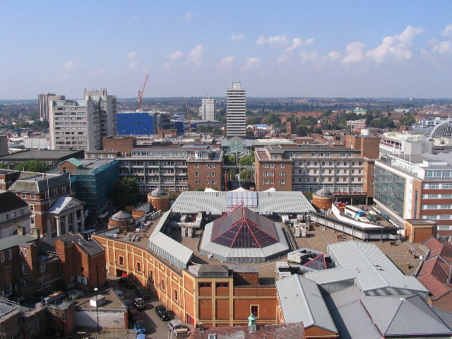
Attēls:Broadgate and Precincts - geograph.org.uk - 554599.jpg
Broadgate_and_Precincts_-_geograph.org.uk_-_554599.jpg (640 × 480 pikseļi, faila izmērs: 96 KB, MIME tips: image/jpeg)
Faila hronoloģija
Uzklikšķini uz datums/laiks kolonnā esošās saites, lai apskatītos, kā šis fails izskatījās tad.
| Datums/Laiks | Attēls | Izmēri | Dalībnieks | Komentārs | |
|---|---|---|---|---|---|
| tagadējais | 2011. gada 6. februāris, plkst. 05.26 |  | 640 × 480 (96 KB) | GeographBot | == {{int:filedesc}} == {{Information |description={{en|1=Broadgate and Precincts Taken from the tower of the old cathedral church of St. Michael, looking westwards down the line of the Upper and Lower Precinct shopping areas towards Mercia House[1], the t |
Faila lietojums
Šo failu izmanto šajā 1 lapā:
Globālais faila lietojums
Šīs Vikipēdijas izmanto šo failu:
- Izmantojums af.wikipedia.org
- Izmantojums an.wikipedia.org
- Izmantojums ar.wikipedia.org
- Izmantojums arz.wikipedia.org
- Izmantojums ast.wikipedia.org
- Izmantojums azb.wikipedia.org
- Izmantojums az.wikipedia.org
- Izmantojums be-tarask.wikipedia.org
- Izmantojums be.wikipedia.org
- Izmantojums ca.wikipedia.org
- Izmantojums ceb.wikipedia.org
- Izmantojums cs.wikipedia.org
- Izmantojums cy.wikipedia.org
- Izmantojums da.wikipedia.org
- Izmantojums de.wikipedia.org
- Izmantojums de.wikivoyage.org
- Izmantojums diq.wikipedia.org
- Izmantojums el.wikipedia.org
- Izmantojums en.wikipedia.org
- Izmantojums en.wikivoyage.org
- Izmantojums eo.wikipedia.org
- Izmantojums es.wikipedia.org
- Izmantojums eu.wikipedia.org
- Izmantojums frr.wikipedia.org
- Izmantojums fr.wikipedia.org
- Izmantojums fr.wikivoyage.org
- Izmantojums fy.wikipedia.org
- Izmantojums ga.wikipedia.org
- Izmantojums gl.wikipedia.org
- Izmantojums he.wikivoyage.org
- Izmantojums hy.wikipedia.org
- Izmantojums ku.wikipedia.org
- Izmantojums lld.wikipedia.org
- Izmantojums mdf.wikipedia.org
- Izmantojums mzn.wikipedia.org
- Izmantojums nn.wikipedia.org
- Izmantojums no.wikipedia.org
- Izmantojums os.wikipedia.org
- Izmantojums pl.wikipedia.org
- Izmantojums pl.wikivoyage.org
- Izmantojums pnb.wikipedia.org
- Izmantojums ro.wikipedia.org
- Izmantojums ru.wikinews.org
- Izmantojums sco.wikipedia.org
Skatīt šī faila pilno globālo izmantojumu.

