Attēls:Map - NL - Municipality code 0200 (2009).svg

Size of this PNG preview of this SVG file: 300 × 160 pikseļi. Citi izmēri: 320 × 171 pikseļi | 640 × 341 pikseļi | 1 024 × 546 pikseļi | 1 280 × 683 pikseļi | 2 560 × 1 365 pikseļi.
Sākotnējais fails (SVG fails, definētais izmērs 300 × 160 pikseļi, faila izmērs: 530 KB)
| Šis fails ir no Vikikrātuves. Tā apraksts no attēla lapas Vikikrātuvē ir parādīts zemāk. Vikikrātuve ir brīvi licencēta failu krātuve. Tu vari tai palīdzēt. |
| Apraksts |
|
|||
| Datums | ||||
| Avots | own work , using CBS data | |||
| Autors | Michiel1972 (talk) 21:58, 24 January 2009 (UTC) | |||
| Atļauja: (Šī faila izmantošana citur) |
Attribution ShareAlike 3.0 |

.svg?uselang=lv)
Šis fails tiek izplatīts saskaņā ar licences Creative Commons Atsauce-Līdzīgi Noteikumi 3.0 Vispārējiem noteikumiem.
- Jūs varat brīvi:
- koplietot – kopēt, izplatīt un pārraidīt darbu
- remiksēt – pielāgot darbu
- Saskaņā ar šādiem nosacījumiem:
- atsaucoties – Tev ir jānorāda autors, saite uz licenci un to, vai veiktas kādas izmaiņas. To var darīt jebkādā saprātīgā veidā, bet ne tādā, kas norādītu, ka licencētājs atbalsta tevi vai veidu, kā tu izmanto šo darbu.
- nemainot licenci – Ja tu miksē, pārveido vai izmanto materiālu, tev savs devums jāpublicē ar to pašu vai saderīgu licenci kā oriģināls.
Faila hronoloģija
Uzklikšķini uz datums/laiks kolonnā esošās saites, lai apskatītos, kā šis fails izskatījās tad.
| Datums/Laiks | Attēls | Izmēri | Dalībnieks | Komentārs | |
|---|---|---|---|---|---|
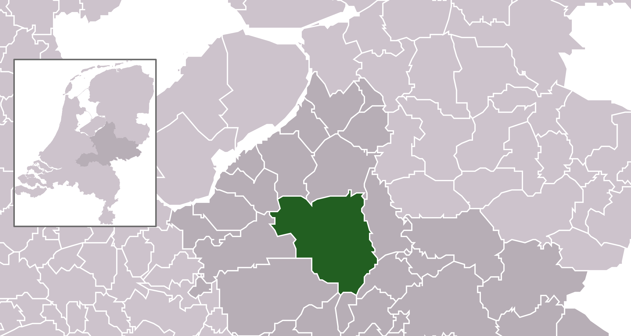
| tagadējais | 2009. gada 25. janvāris, plkst. 00.58 | | 300 × 160 (530 KB) | Michiel1972 | {{Information |Description=*Location maps for the 441 municipalities in the Netherlands. Boundaries 1/1/2009 *Automatically generated with script *File name contains "Municipality code" (CBS-code) as specified in: [http://www.cbs.nl/nl-NL/menu/methoden/c |
Faila lietojums
Šo failu izmanto šajā 1 lapā:
Globālais faila lietojums
Šīs Vikipēdijas izmanto šo failu:
- Izmantojums ar.wikipedia.org
- Izmantojums ast.wikipedia.org
- Izmantojums ca.wikipedia.org
- Izmantojums el.wikipedia.org
- Izmantojums en.wikipedia.org
- Izmantojums eu.wikipedia.org
- Izmantojums fa.wikipedia.org
- Izmantojums fr.wikipedia.org
- Izmantojums gl.wikipedia.org
- Izmantojums hak.wikipedia.org
- Izmantojums hu.wikipedia.org
- Izmantojums hy.wikipedia.org
- Izmantojums it.wikipedia.org
- Izmantojums la.wikipedia.org
- Izmantojums lb.wikipedia.org
- Izmantojums mk.wikipedia.org
- Izmantojums ms.wikipedia.org
- Izmantojums nl.wikipedia.org
- Izmantojums pt.wikipedia.org
- Izmantojums ru.wikipedia.org
- Izmantojums simple.wikipedia.org
- Izmantojums sl.wikipedia.org
- Izmantojums tr.wikipedia.org
- Izmantojums tt.wikipedia.org
- Izmantojums uk.wikipedia.org
- Izmantojums ur.wikipedia.org
- Izmantojums www.wikidata.org
- Izmantojums zh-min-nan.wikipedia.org
- Izmantojums zh.wikipedia.org
.svg)