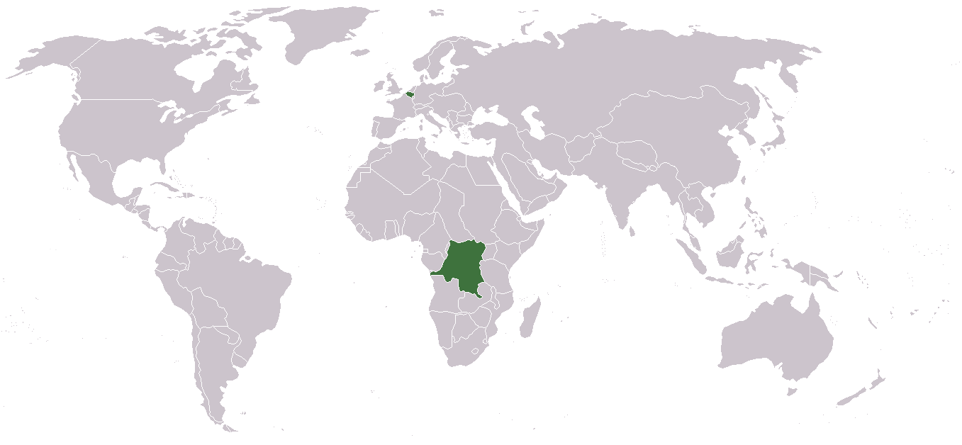
Attēls:LocationCongoFreeState.png
Šī priekšskata izmērs: 800 × 370 pikseļi. Citi izmēri: 320 × 148 pikseļi | 640 × 296 pikseļi | 1 357 × 628 pikseļi.
Sākotnējais fails (1 357 × 628 pikseļi, faila izmērs: 44 KB, MIME tips: image/png)
| Šis fails ir no Vikikrātuves. Tā apraksts no attēla lapas Vikikrātuvē ir parādīts zemāk. Vikikrātuve ir brīvi licencēta failu krātuve. Tu vari tai palīdzēt. |

|
This locator map image could be re-created using vector graphics as an SVG file. This has several advantages; see Commons:Media for cleanup for more information. If an SVG form of this image is available, please upload it and afterwards replace this template with
{{vector version available|new image name}}.
It is recommended to name the SVG file “LocationCongoFreeState.svg”—then the template Vector version available (or Vva) does not need the new image name parameter. |
Kopsavilkums
Licence
| I, the copyright holder of this work, release this work into the public domain. This applies worldwide. In some countries this may not be legally possible; if so: I grant anyone the right to use this work for any purpose, without any conditions, unless such conditions are required by law. |
Faila hronoloģija
Uzklikšķini uz datums/laiks kolonnā esošās saites, lai apskatītos, kā šis fails izskatījās tad.
| Datums/Laiks | Attēls | Izmēri | Dalībnieks | Komentārs | |
|---|---|---|---|---|---|
| tagadējais | 2010. gada 9. oktobris, plkst. 19.12 | | 1 357 × 628 (44 KB) | LX | Reverted sockpuppet edits to version as of 16:25, 2 December 2006 |
| 2010. gada 7. oktobris, plkst. 16.47 |  | 1 357 × 628 (44 KB) | Rasax~commonswiki | new version | |
| 2006. gada 2. decembris, plkst. 19.25 |  | 1 357 × 628 (44 KB) | Moyogo | from Image:LocationDRCongo.png revision by User:Deltabeignet. |
Faila lietojums
Šo failu izmanto šajā 1 lapā:
Globālais faila lietojums
Šīs Vikipēdijas izmanto šo failu:
- Izmantojums ar.wikipedia.org
- Izmantojums ast.wikipedia.org
- Izmantojums azb.wikipedia.org
- Izmantojums bg.wikipedia.org
- Izmantojums ca.wikipedia.org
- Izmantojums cs.wikipedia.org
- Izmantojums da.wikipedia.org
- Izmantojums en.wikipedia.org
- Izmantojums en.wikiquote.org
- Izmantojums eo.wikipedia.org
- Izmantojums es.wikipedia.org
- Izmantojums eu.wikipedia.org
- Izmantojums fa.wikipedia.org
- Izmantojums fi.wikipedia.org
- Izmantojums gl.wikipedia.org
- Izmantojums he.wikipedia.org
- Izmantojums hr.wikipedia.org
- Izmantojums hu.wikipedia.org
- Izmantojums id.wikipedia.org
- Izmantojums it.wikipedia.org
- Izmantojums ja.wikipedia.org
- Izmantojums ko.wikipedia.org
- Izmantojums lfn.wikipedia.org
- Izmantojums lt.wikipedia.org
- Izmantojums mk.wikipedia.org
- Izmantojums no.wikipedia.org
- Izmantojums pl.wikipedia.org
- Izmantojums pt.wikipedia.org
- Izmantojums ro.wikipedia.org
- Izmantojums sco.wikipedia.org
- Izmantojums sh.wikipedia.org
- Izmantojums simple.wikipedia.org
- Izmantojums sl.wikipedia.org
- Izmantojums sr.wikipedia.org
- Izmantojums sv.wikipedia.org
- Izmantojums th.wikipedia.org
- Izmantojums tr.wikipedia.org
- Izmantojums uk.wikipedia.org
Skatīt šī faila pilno globālo izmantojumu.