Attēls:Leuchtturm in Westerheversand crop.jpg
Šī priekšskata izmērs: 747 × 600 pikseļi. Citi izmēri: 299 × 240 pikseļi | 598 × 480 pikseļi | 957 × 768 pikseļi | 1 276 × 1 024 pikseļi | 2 552 × 2 048 pikseļi | 3 606 × 2 894 pikseļi.
Sākotnējais fails (3 606 × 2 894 pikseļi, faila izmērs: 8,36 MB, MIME tips: image/jpeg)
| Šis fails ir no Vikikrātuves. Tā apraksts no attēla lapas Vikikrātuvē ir parādīts zemāk. Vikikrātuve ir brīvi licencēta failu krātuve. Tu vari tai palīdzēt. |
Kopsavilkums
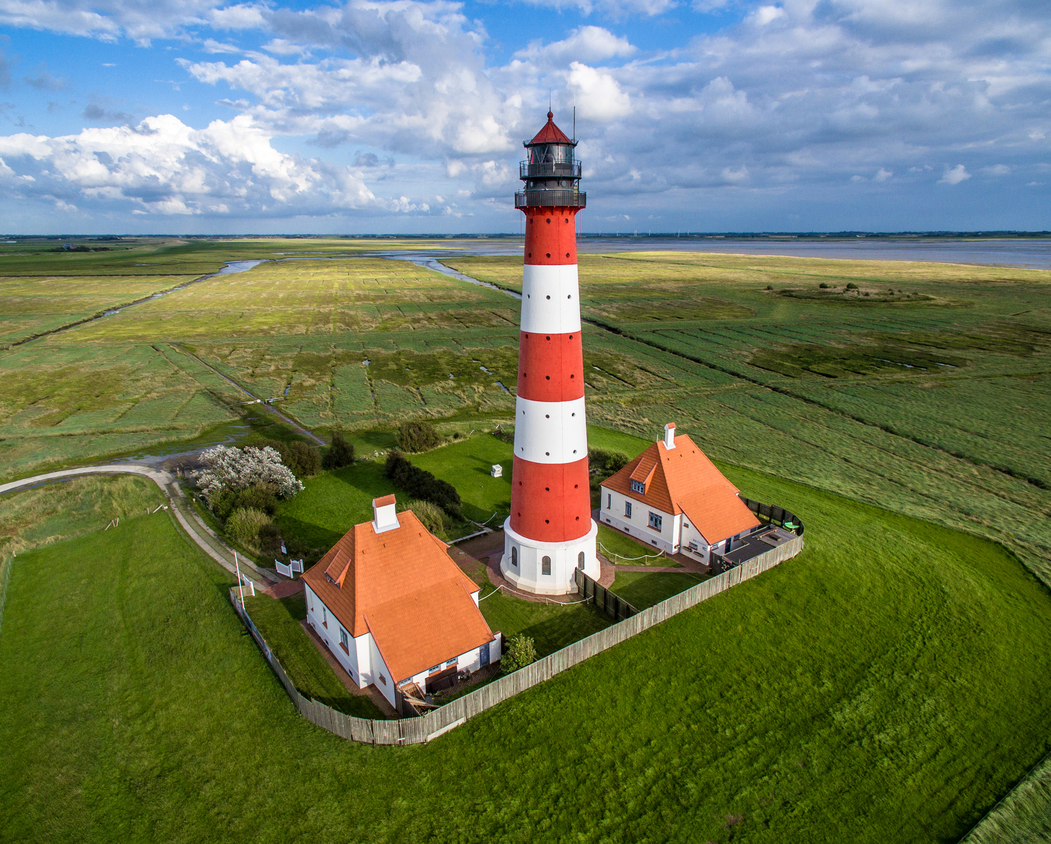
| Apraksts |
Deutsch: Luftbildaufnahme des Leuchtturms in Westerheversand.
English: Aerial photograph of Westerheversand Lighthouse.
Esperanto: Aera bildo de la lumturo de Westerheversand.
Français : Vue aérienne du phare de Westerheversand.
Русский: Аэрофотосъемка Вестерхеферского маяка.
Українська: Аерофотозйомка Вестерхеферського маяка, Шлезвіг-Гольштейн, Німеччина.
Polski: Zdjęcie lotnicze latarni morskiej Westerheversand.
Español: Fotografía aérea del faro de Westerheversand. |
| Datums | |
| Avots |
Šis fails tika iegūts no: Leuchtturm in Westerheversand.jpg |
| Autors | Marco Leiter |
| Citas versijas |
|


| Object location | | View this and other nearby images on: OpenStreetMap |
|---|
| Camera location | | View this and other nearby images on: OpenStreetMap |
|---|
Assessment
|

Licence
Es, šī darba autortiesību īpašnieks, publicēju to saskaņā ar šo licenci:
This file is licensed under the Creative Commons Attribution-Share Alike 4.0 International license.
- Jūs varat brīvi:
- koplietot – kopēt, izplatīt un pārraidīt darbu
- remiksēt – pielāgot darbu
- Saskaņā ar šādiem nosacījumiem:
- atsaucoties – Tev ir jānorāda autors, saite uz licenci un to, vai veiktas kādas izmaiņas. To var darīt jebkādā saprātīgā veidā, bet ne tādā, kas norādītu, ka licencētājs atbalsta tevi vai veidu, kā tu izmanto šo darbu.
- nemainot licenci – Ja tu miksē, pārveido vai izmanto materiālu, tev savs devums jāpublicē ar to pašu vai saderīgu licenci kā oriģināls.
This image has been assessed using the Quality image guidelines and is considered a Quality image.
|
Faila hronoloģija
Uzklikšķini uz datums/laiks kolonnā esošās saites, lai apskatītos, kā šis fails izskatījās tad.
| Datums/Laiks | Attēls | Izmēri | Dalībnieks | Komentārs | |
|---|---|---|---|---|---|
| tagadējais | 2016. gada 5. februāris, plkst. 11.15 | | 3 606 × 2 894 (8,36 MB) | Livioandronico2013 | User created page with UploadWizard |
Faila lietojums
Šo failu izmanto šajā 1 lapā:
Globālais faila lietojums
Šīs Vikipēdijas izmanto šo failu:
- Izmantojums ar.wikipedia.org
- Izmantojums de.wikipedia.org
- Izmantojums de.wikivoyage.org
- Izmantojums en.wikipedia.org
- Izmantojums frr.wikipedia.org
- Izmantojums fr.wikipedia.org
- Izmantojums ga.wikipedia.org
- Izmantojums ia.wikipedia.org
- Izmantojums it.wikipedia.org
- Izmantojums lt.wikipedia.org
- Izmantojums mg.wikipedia.org
- Izmantojums or.wikipedia.org
- Izmantojums pnb.wikipedia.org
- Izmantojums pt.wikipedia.org
- Izmantojums rue.wikipedia.org
- Izmantojums ru.wikipedia.org
- Izmantojums ru.wikiquote.org
- Izmantojums sv.wikipedia.org
- Izmantojums vi.wikipedia.org
- Izmantojums www.wikidata.org