Attēls:India West Bengal adm location map.svg

Sākotnējais fails (SVG fails, definētais izmērs 1 039 × 1 585 pikseļi, faila izmērs: 350 KB)
| Šis fails ir no Vikikrātuves. Tā apraksts no attēla lapas Vikikrātuvē ir parādīts zemāk. Vikikrātuve ir brīvi licencēta failu krātuve. Tu vari tai palīdzēt. |
Kopsavilkums
| Apraksts |
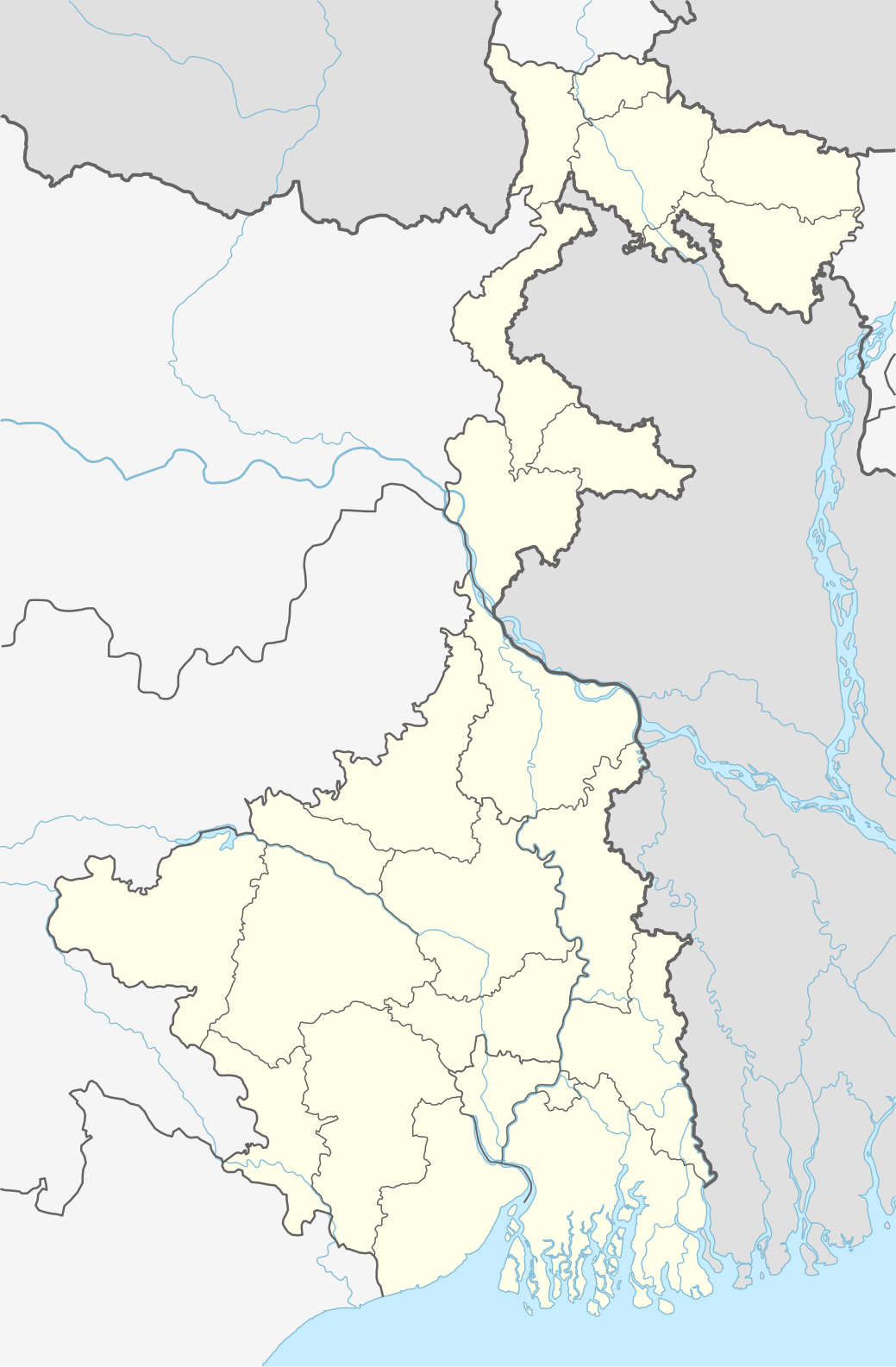
Deutsch: Positionskarte von Westbengalen, Indien
English: Location map of West Bengal, India
|
||||||||||||
| Datums | |||||||||||||
| Avots |
Own work using:
|
||||||||||||
| Autors | NordNordWest | ||||||||||||

|
Šī karte bija uzlabota vācu Kartenwerkstatt. Jūs arī varat piedāvāt citas kartes uzlabošanai.
|
Licence
Usage of this file with:

explanatory notes: Legally binding is only the full legalcode. For a free usage I recommend to respect the following licence conditions:
1. Provide my name as given above: NordNordWest,
2. a copy of, or the URI for, the applicable license: https://creativecommons.org/licenses/by-sa/3.0/de/legalcode,
3. the title of the work,
4. in the case of an adaptation, a credit identifying the use of the work in the adaptation.
This license and the rights granted hereunder will terminate automatically upon any breach by you of the terms of this license. Any of the above conditions can be waived if you get permission from the copyright holder. If you have questions or wish differing conditions, please contact me through nnwest or my discussion page ![]() t-online.de
t-online.de
- Jūs varat brīvi:
- koplietot – kopēt, izplatīt un pārraidīt darbu
- remiksēt – pielāgot darbu
- Saskaņā ar šādiem nosacījumiem:
- atsaucoties – Tev ir jānorāda autors, saite uz licenci un to, vai veiktas kādas izmaiņas. To var darīt jebkādā saprātīgā veidā, bet ne tādā, kas norādītu, ka licencētājs atbalsta tevi vai veidu, kā tu izmanto šo darbu.
- nemainot licenci – Ja tu miksē, pārveido vai izmanto materiālu, tev savs devums jāpublicē ar to pašu vai saderīgu licenci kā oriģināls.

Faila hronoloģija
Uzklikšķini uz datums/laiks kolonnā esošās saites, lai apskatītos, kā šis fails izskatījās tad.
| Datums/Laiks | Attēls | Izmēri | Dalībnieks | Komentārs | |
|---|---|---|---|---|---|
| tagadējais | 2020. gada 27. aprīlis, plkst. 01.42 | | 1 039 × 1 585 (350 KB) | C1MM | Reverted to version as of 08:29, 23 May 2019 (UTC) |
| 2020. gada 27. aprīlis, plkst. 01.41 |  | 1 039 × 1 585 (362 KB) | C1MM | Changed color of rivers according to French/German location map conventions: color #0978AB | |
| 2019. gada 23. maijs, plkst. 11.29 |  | 1 039 × 1 585 (350 KB) | NordNordWest | upd | |
| 2018. gada 6. jūnijs, plkst. 14.42 |  | 1 039 × 1 585 (335 KB) | NordNordWest | == {{int:filedesc}} == {{Information |description= {{de|1=Positionskarte von Westbengalen, Indien}} {{en|1=Location map of West Bengal, India}} {{Location map series N |stretching=110 |top=27.4 |bottom=21.3 |left=85.6 |right=90 }} |source={{Own using}} * United States National Imagery and Mapping Agency data * World Data Base II data |date=2018-06-06 |author={{U|NordNordWest}} |permission= |other_versions= }} {{Kartenwerkstatt}} == {{int:license-header}} == {{User:NordNordWest/LicenceMap}} ... |
Faila lietojums
Šo failu izmanto šajās 2 lapās:
Globālais faila lietojums
Šīs Vikipēdijas izmanto šo failu:
- Izmantojums ar.wikipedia.org
- Izmantojums as.wikipedia.org
- Izmantojums azb.wikipedia.org
- کلکته
- تونقلو, باتی بنقال
- سانکاری, باتی بنقال
- روهینی, باتی بنقال
- پانچکولا (باتی بنقال )
- کوارا, باتی بنقال
- کاشیپور, باتی بنقال
- دبیپور, باتی بنقال
- پیاسالا
- فوتیقودا
- فولکوسما
- ساتاری, مالدا
- ساتپالسا
- ساتکول
- ساتبانکورا
- سارماستر چاک
- ساریشا
- سارنقا, بانکورا
- ساربریا
- سانتوری, پورولیا
- مایورهات
- مایورسوار
- مایدا, جایناقار
- مایاهاوری
- سانکرایل, جارقرام
- سانکار پارولیا
- سانقرامپور, ماقراهات
- ماتکاتپور
- کالیناقار, جایناقار
- کالیقرام
- ماسینا, پورولیا
- کالاپاتار
- سامودراقاره
- ماساقرام
- سامتا, ایندیا
- سامسی, مالدا
- ماروادیه
- کالابریا
Skatīt šī faila pilno globālo izmantojumu.