Attēls:Chieftain Museum Santaquin Utah.jpeg
Šī priekšskata izmērs: 800 × 600 pikseļi. Citi izmēri: 320 × 240 pikseļi | 640 × 480 pikseļi | 1 024 × 768 pikseļi | 1 280 × 960 pikseļi | 2 560 × 1 920 pikseļi.
Sākotnējais fails (2 560 × 1 920 pikseļi, faila izmērs: 1,08 MB, MIME tips: image/jpeg)
| Šis fails ir no Vikikrātuves. Tā apraksts no attēla lapas Vikikrātuvē ir parādīts zemāk. Vikikrātuve ir brīvi licencēta failu krātuve. Tu vari tai palīdzēt. |
| Camera location | | View this and other nearby images on: OpenStreetMap |
|---|
| Apraksts |
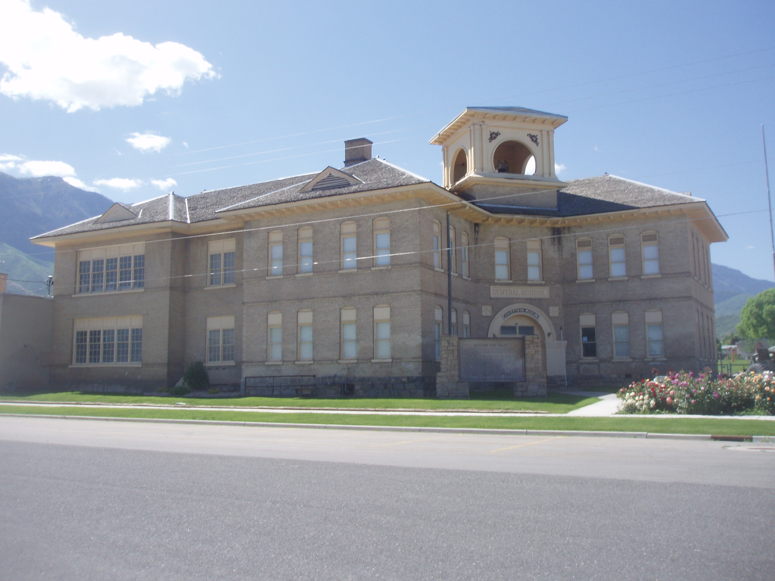
English: The former Santaquin Elementary School in Santaquin, Utah, United States, now the Chieftain Museum. |
||
| Datums | |||
| Avots | Paša darbs | ||
| Autors | Ntsimp | ||
| Atļauja: (Šī faila izmantošana citur) |
|
Faila hronoloģija
Uzklikšķini uz datums/laiks kolonnā esošās saites, lai apskatītos, kā šis fails izskatījās tad.
| Datums/Laiks | Attēls | Izmēri | Dalībnieks | Komentārs | |
|---|---|---|---|---|---|
| tagadējais | 2009. gada 30. jūnijs, plkst. 20.45 | | 2 560 × 1 920 (1,08 MB) | Ntsimp | {{Information |Description={{en|1=The former Santaquin Elementary School in Santaquin, Utah, United States, now the Chieftain Museum.}} |Source=Own work by uploader |Author=Ntsimp |
Faila lietojums
Šo failu izmanto šajā 1 lapā:
Globālais faila lietojums
Šīs Vikipēdijas izmanto šo failu:
- Izmantojums azb.wikipedia.org
- Izmantojums bg.wikipedia.org
- Izmantojums de.wikipedia.org
- Izmantojums en.wikipedia.org
- Izmantojums en.wikivoyage.org
- Izmantojums fa.wikipedia.org
- Izmantojums fr.wikipedia.org
- Izmantojums nv.wikipedia.org
- Izmantojums pl.wikipedia.org
- Izmantojums sh.wikipedia.org
- Izmantojums sr.wikipedia.org
- Izmantojums tr.wikipedia.org
- Izmantojums uk.wikipedia.org
- Izmantojums uz.wikipedia.org