Attēls:Central and Eastern Europe Map.png

Sākotnējais fails (2 416 × 3 230 pikseļi, faila izmērs: 1,37 MB, MIME tips: image/png)
| Šis fails ir no Vikikrātuves. Tā apraksts no attēla lapas Vikikrātuvē ir parādīts zemāk. Vikikrātuve ir brīvi licencēta failu krātuve. Tu vari tai palīdzēt. |
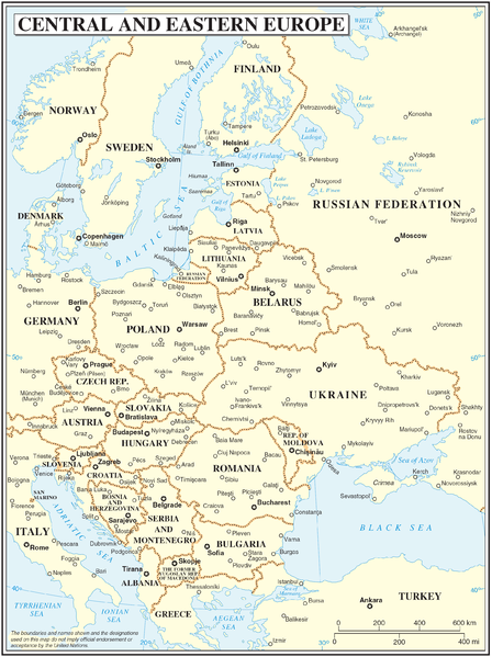
Central and Eastern Europe map
| Apraksts | Map of Central and Eastern Europe | |||
| Datums | ||||
| Avots | The Cartographic Section of the United Nations (CSUN) | |||
| Autors | Cartographer of the United Nations | |||
| Atļauja: (Šī faila izmantošana citur) |
|

Faila hronoloģija
Uzklikšķini uz datums/laiks kolonnā esošās saites, lai apskatītos, kā šis fails izskatījās tad.
| Datums/Laiks | Attēls | Izmēri | Dalībnieks | Komentārs | |
|---|---|---|---|---|---|
| tagadējais | 2007. gada 10. marts, plkst. 19.59 | | 2 416 × 3 230 (1,37 MB) | Minestrone | Central and Eastern Europe map {{Information |Description=Map of Central and Eastern Europe |Source=The Cartographic Section of the United Nations (CSUN) |Date=2007-03-10 |Author=Cartographer of the United Nations |Permission={{Template:UN map}} and |
Faila lietojums
Šo failu izmanto šajā 1 lapā:
Globālais faila lietojums
Šīs Vikipēdijas izmanto šo failu:
- Izmantojums cs.wikipedia.org
- Izmantojums de.wikipedia.org
- Izmantojums en.wikipedia.org
- Izmantojums hr.wikipedia.org
- Izmantojums hu.wikipedia.org
- Izmantojums it.wikipedia.org
- Izmantojums pl.wikipedia.org
- Izmantojums th.wikipedia.org