Attēls:Brunei location map Topographic.png

Šī priekšskata izmērs: 739 × 600 pikseļi. Citi izmēri: 296 × 240 pikseļi | 591 × 480 pikseļi | 946 × 768 pikseļi | 1 262 × 1 024 pikseļi | 2 331 × 1 892 pikseļi.
Sākotnējais fails (2 331 × 1 892 pikseļi, faila izmērs: 5,92 MB, MIME tips: image/png)
| Šis fails ir no Vikikrātuves. Tā apraksts no attēla lapas Vikikrātuvē ir parādīts zemāk. Vikikrātuve ir brīvi licencēta failu krātuve. Tu vari tai palīdzēt. |
Kopsavilkums
| Apraksts |
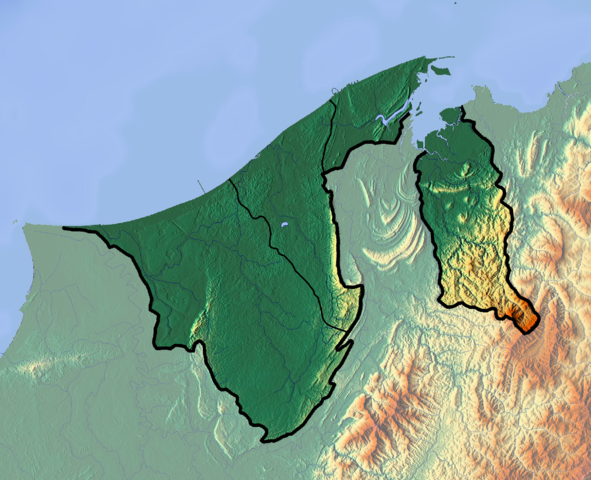
Deutsch: Positionskarte von Brunei
Quadratische Plattkarte. Geographische Begrenzung der Karte:
English: Location map of Brunei
Equirectangular projection. Geographic limits of the map:
|
| Datums | |
| Avots |
Paša darbs
|
| Autors | Dr Brains |
Licence
Es, šī darba autortiesību īpašnieks, publicēju to saskaņā ar šīm licencēm:

|
Permission is granted to copy, distribute and/or modify this document under the terms of the GNU Free Documentation License, Version 1.2 only as published by the Free Software Foundation; with no Invariant Sections, no Front-Cover Texts, and no Back-Cover Texts. A copy of the license is included in the section entitled GNU Free Documentation License. | 1.2 only |
|
|
Permission is granted to copy, distribute and/or modify this document under the terms of the GNU Free Documentation License, Version 1.3 or any later version published by the Free Software Foundation; with no Invariant Sections, no Front-Cover Texts, and no Back-Cover Texts. A copy of the license is included in the section entitled GNU Free Documentation License.
|
Jūs varat izvēlēties licenci pēc jūsu vēlmes.
Faila hronoloģija
Uzklikšķini uz datums/laiks kolonnā esošās saites, lai apskatītos, kā šis fails izskatījās tad.
| Datums/Laiks | Attēls | Izmēri | Dalībnieks | Komentārs | |
|---|---|---|---|---|---|
| tagadējais | 2012. gada 10. jūnijs, plkst. 14.22 | | 2 331 × 1 892 (5,92 MB) | Dr Brains |
Faila lietojums
Šo failu izmanto šajās 2 lapās:
Globālais faila lietojums
Šīs Vikipēdijas izmanto šo failu:
- Izmantojums ar.wikipedia.org
- Izmantojums ast.wikipedia.org
- Izmantojums bcl.wikipedia.org
- Izmantojums bn.wikipedia.org
- Izmantojums bs.wikipedia.org
- Izmantojums ceb.wikipedia.org
- Izmantojums ce.wikipedia.org
- Izmantojums cs.wikipedia.org
- Izmantojums el.wikipedia.org
- Izmantojums en.wikipedia.org
- Brunei
- Geography of Brunei
- Bandar Seri Begawan
- Brunei Bay
- Jerudong Park
- Brunei Open
- Pagon Hill
- Aberdeen Brunei Senior Masters
- Tasek Merimbun
- Ulu Temburong National Park
- Module:Location map/data/Brunei/doc
- Batu Apoi Forest Reserve
- Seria oil field
- Benutan Dam
- Ulu Tutong Dam
- Ash-Shaliheen Mosque
- Pehin Khatib Abdullah Mosque
- Hassanal Bolkiah Mosque
- Hassanal Bolkiah Mosque, Mentiri
- Module:Location map/data/Brunei
- Kedayan River
- Kianggeh River
- Jerudong Park Amphitheater
- Saeh Hill
- Retak Hill
- Tudal Hill
- Lalak Lake
- Serasa Bay
- Teraja Waterfall
- Izmantojums fa.wikipedia.org
- Izmantojums fr.wikipedia.org
Skatīt šī faila pilno globālo izmantojumu.